











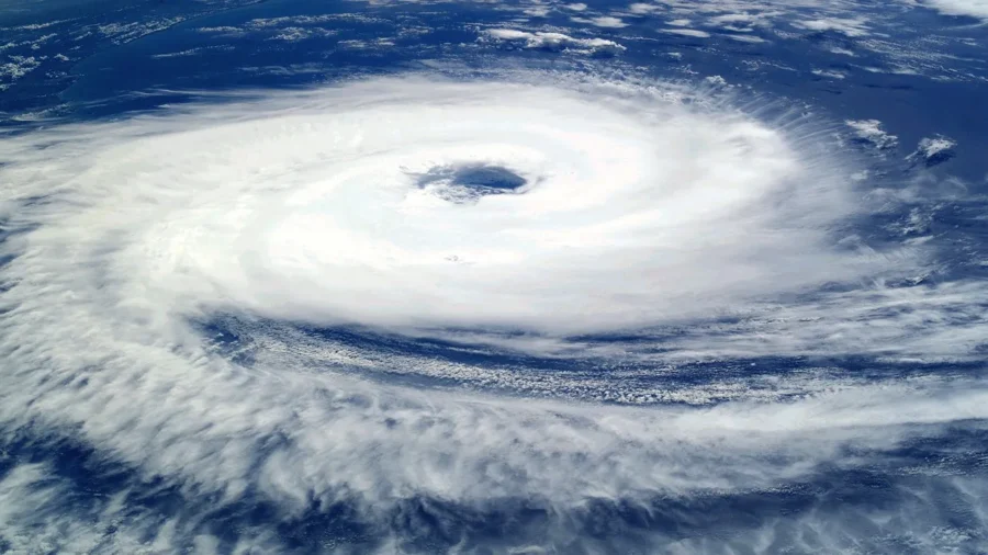
The India Meteorological Department (IMD) has issued a series of alerts as Cyclone Senyar continues to intensify over the Bay of Bengal, with the storm expected to bring heavy rainfall, strong winds, and rough sea conditions to multiple regions over the next several days.
According to IMD forecasts, the weather system, currently brewing over the southeast Bay of Bengal, is likely to strengthen into a cyclonic storm within the next 24 hours before tracking northwest toward the eastern coast of India.
The first major impact zone is likely to be the Andaman and Nicobar Islands, which are expected to receive very heavy rainfall accompanied by strong winds as the system moves closer to the archipelago.
Following its passage through the islands, Cyclone Senyar is projected to move toward the east and southeast coasts of India, triggering widespread rain across several states. Southern India, including Tamil Nadu, Kerala, Andhra Pradesh (particularly coastal regions), Rayalaseema, and Lakshadweep, has been placed under varying levels of alert, with authorities advising fishermen to remain ashore due to the risk of high waves and turbulent seas.
Early model projections suggest that the system may move toward coastal Andhra Pradesh, with a potential landfall window between November 27 and 30, though the exact track and intensity remain under assessment.
Local administrations in vulnerable districts have begun preparations, including emergency response planning, clearing of drainage systems, and pre-positioning of relief teams.
The IMD has warned of potential flooding in low-lying areas, disruption to transport, and possible damage to infrastructure due to strong winds and heavy rain.
Areas likely to be affected by cyclone Senyar
1. Andaman & Nicobar Islands
2. Tamil Nadu
3. Kerala
4. Andhra Pradesh (including Yanam)
5. Rayalaseema
6. Lakshadweep