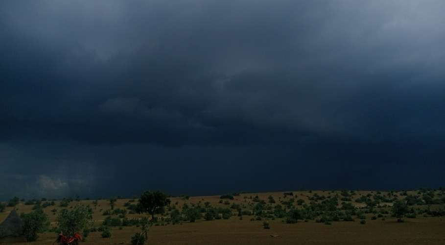












RAWALPINDI/ISLAMABAD: A potent Western Disturbance is set to sweep across Pakistan from today through April 8, bringing volatile weather conditions to Rawalpindi, Islamabad and surrounding regions.
The system, fueled by a deep upper trough and strong moisture inflow from the Arabian Sea, is expected to trigger thunderstorms, hailstorms, and gusty winds (40–60 km/h), with temperatures dropping sharply by 5–7°C. Rawalpindi, along with Islamabad, Peshawar, and Kashmir, is forecast to receive 80–150 mm of rainfall — an unusually high volume for this time of year.
Met experts say farmers in the region face heightened risk as hail and strong winds coincide with the critical wheat harvesting season, potentially causing significant crop damage.
Urban areas may experience waterlogging and infrastructure strain, while mountainous zones like Murree and nearby passes face landslide threats. Authorities urge residents to secure loose objects, avoid travel in hilly areas, and monitor official advisories closely.
“This is not routine spring rain — it’s a high-impact event,”* warned a Met expert, adding that “after this system clears, rainfall will ease significantly — a relief for agriculture, but the immediate danger is very real.”
Key Impacts in Rawalpindi:
– Heavy rain and thunderstorms likely from today through April 8
– Hailstorms possible, especially in afternoon/evening hours
– Strong winds may down trees and power lines
– Risk of urban flooding in low-lying neighborhoods
– Travel disruptions expected on Murree Road and surrounding hill routes