










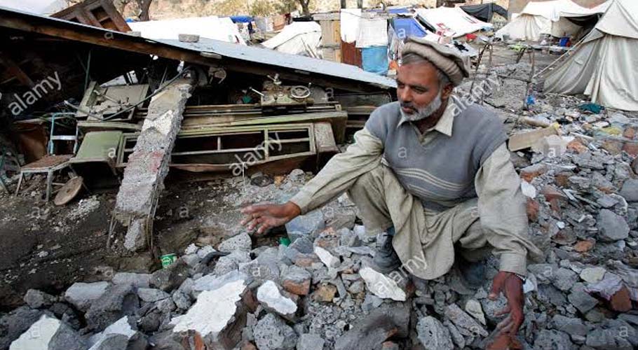
TEHRAN: An earthquake rocked near Iran’s highest mountain on Friday, killing at least one person and injuring more than 30 in crumbling and collapsed buildings.
According to the US Geological Survey, the shallow 4.6 magnitude quake hit at 00:48 am (2018 GMT) near the city of Damavand, about 55 kilometres (34 miles) east of Tehran.
The USGS said on its website that the quake struck at a depth of 10 kilometres. Its epicentre was south of Mount Damavand, a volcanic mountain which at 5,671 metres (18,606 feet) is Iran’s highest peak.
A spokesman for Health ministry Kianoush Jahanpour said on Twitter that the tremor claimed the life of one person and injured seven others. He appealed people to “keep calm” and to follow safety guidelines.
In December 2019 and January 2020, two earthquakes struck near Iran’s Bushehr nuclear power plant.
On February this year, a 5.7 magnitude earthquake that rattled the western village of Habash-e Olya, killed at least nine persons over the border in neighbouring Turkey.
Earlier, a 7.3-magnitude quake in Iran’s western province of Kermanshah killed 620 people in November 2017.
Separately, a 6.6-magnitude quake in southeastern Iran decimated the ancient mud-brick city of Bam and killed at least 31,000 people in 2003.
Iran’s deadliest quake was a 7.4-magnitude tremor in 1990 that killed 40,000 people in northern Iran, injured 300,000 and left half a million homeless.
ADVERTISEMENT