










In Punjab, drone technology is being used during rescue operations to identify flood-affected people, as reported by national media on Monday.
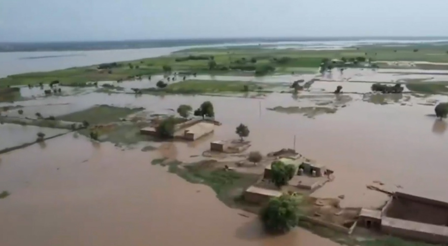
According to details, in remote and difficult-to-reach areas of Punjab, flood victims are being identified using thermal imaging drones, where drones searched for people and livestock trapped in flood surges on Semi-Pal Jhang and Sargodha roads.
The thermal imaging camera identified 5 people and livestock trapped in floodwaters. After tracing the location, the rescue team rescued all five people and the livestock and brought them to a safe place.
Additionally, in the river belt of Chishtian, drones continue to search for flood-affected people, while thermal imaging drones have also been used in flood-affected areas of Bahawalnagar’s river belt.
Notably, at Head Trimmu on the Chenab River, there is an extremely high-level flood, with water flow reaching 479,000 cusecs. At Head Panjnad on the Chenab River, the water inflow has increased, but the situation remains normal.
At Head Khanki and Qadirabad on the Chenab River, water levels have decreased, and now there is a medium-level flood. However, at the Trimmu location on the Chenab River, there is a high-level flood. At Trimmu, flood inflow and outflow were recorded at 479,743 cusecs.
Meanwhile, on the Ravi River at Head Balloki, the reduction in water flow continues. The flow has now decreased to 175,000 cusecs, but it is still an extremely high-level flood.
According to the Flood Forecasting Division, there is a medium-level flood at Shahdara on the Ravi River, with inflow and outflow recorded at 67,900 cusecs.